pulseEKKO® GPR systems provide unparalleled performance with a wide-range of frequencies for applications ranging from deep mineral exploration to high-resolution geotechnical investigations and concrete imaging.
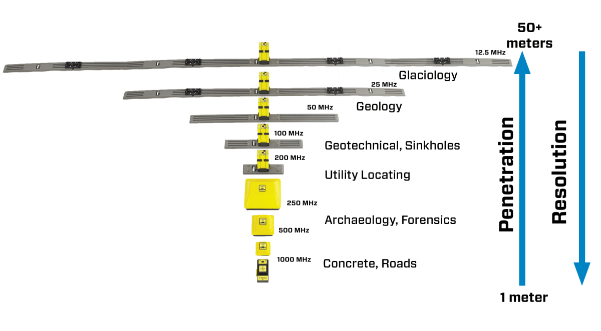
- The operating bandwidth is selectable from 12.5 MHz to 1000 MHz to optimize the spatial resolution required by target size and exploration depth.
- The fully bistatic design enables variable antenna offsets and orientations for advanced survey types such as multi-offset, transillumination and multi-polarization.
- Low system noise paired with high-accuracy digital acquisition directly at the receiving antenna results in unprecedented depth of penetration.
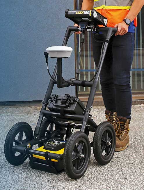
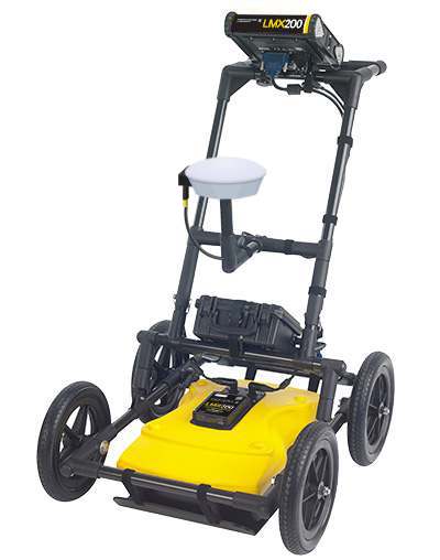
- Many deployment configurations are available for practical field operation.
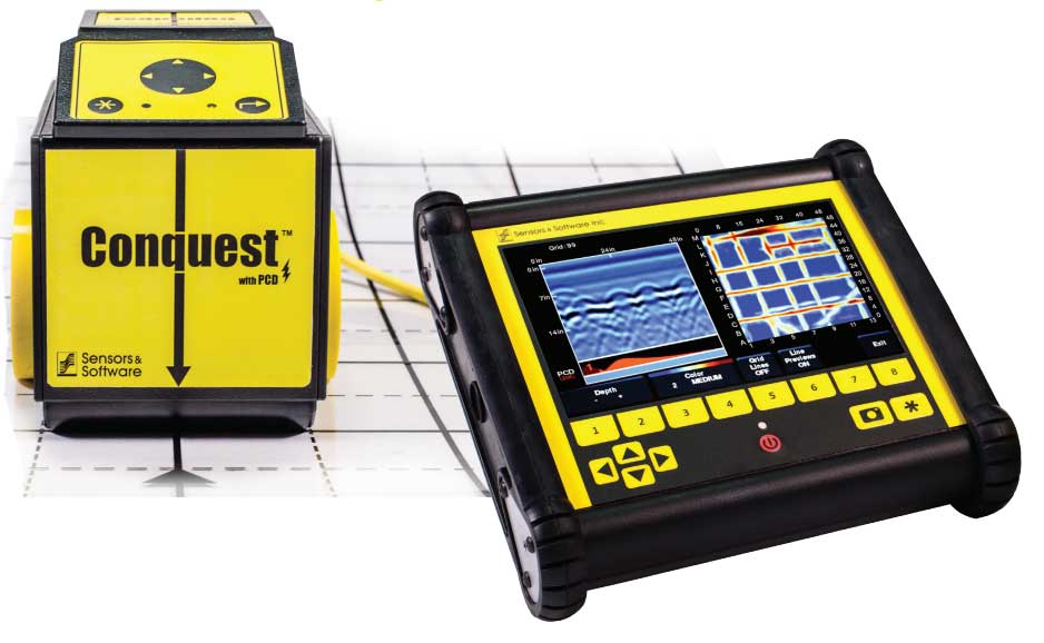
- Data are acquired in Sensors & Software’s industry standard file format for analysis with a range of processing and visualization software products.
Applications:
- Geological stratigraphy: Profile subsurface stratigraphy, structure and the bedrock surface
- Mining & Quarrying: Detect changes in rock type, fractures, faults and joints for safety and resource development in underground mines
- Geotechnical & Environmental: Map depth to bedrock, detect sinkholes, locate underground storage tanks (USTs) as well as septic systems, drainage systems on golf courses and farms
- Forensics & Archaeology: Law enforcement uncover buried caches of drugs, money, weapons and clandestine graves. Archaeologists image underground artifacts, tombs and the foundations of ancient structures
- Structure assessment: Assess the interior of concrete and pavement for asset management and maintenance planning
Multi-Channel Surveys : pulseEKKO® is a configurable product. pulseEKKO® components can be used as building block for larger, more advanced systems. For example, several antennas or transducer sets can be networked together using the SPIDAR® hardware.


